Remark
Please be aware that these lecture notes are accessible online in an ‘early access’ format. They are actively being developed, and certain sections will be further enriched to provide a comprehensive understanding of the subject matter.
3.1. Understanding Geospatial Data#
Geospatial data, a key component of spatial analysis and geographic sciences, refers to information that is linked directly or indirectly to a specific location or geographical area. This section delves into the characteristics of geospatial data, its various forms, and its significance in spatial analysis.
3.1.1. Types of Geospatial Data#
In the context of Geographic Information Systems (GIS), real-world observations—encompassing any measurable objects or events in two or three dimensions—must be translated into simplified spatial representations. This process involves distilling complex real-world details into fundamental spatial constructs that can be effectively managed and analyzed within a GIS framework. These constructs are modeled in one of two primary ways:
Vector Data Model: This approach captures the geometry and location of spatial entities using points, lines, and polygons. It is well-suited for representing discrete features with clear boundaries and precise locations, such as buildings, roads, or administrative borders. An example of the vector data model is provided in Fig. 3.1.

Fig. 3.1 An example of the vector data model.#
Vector data models will be discussed in greater detail in Section 3.2.
Raster Data Model: In this model, spatial entities are depicted as a uniform grid of cells, with each cell containing a value that represents a specific attribute of that area, such as elevation or temperature. This model is ideal for continuous data that lacks distinct boundaries, like rainfall distribution or land surface temperatures. An example of the raster data model is provided in Fig. 3.2.
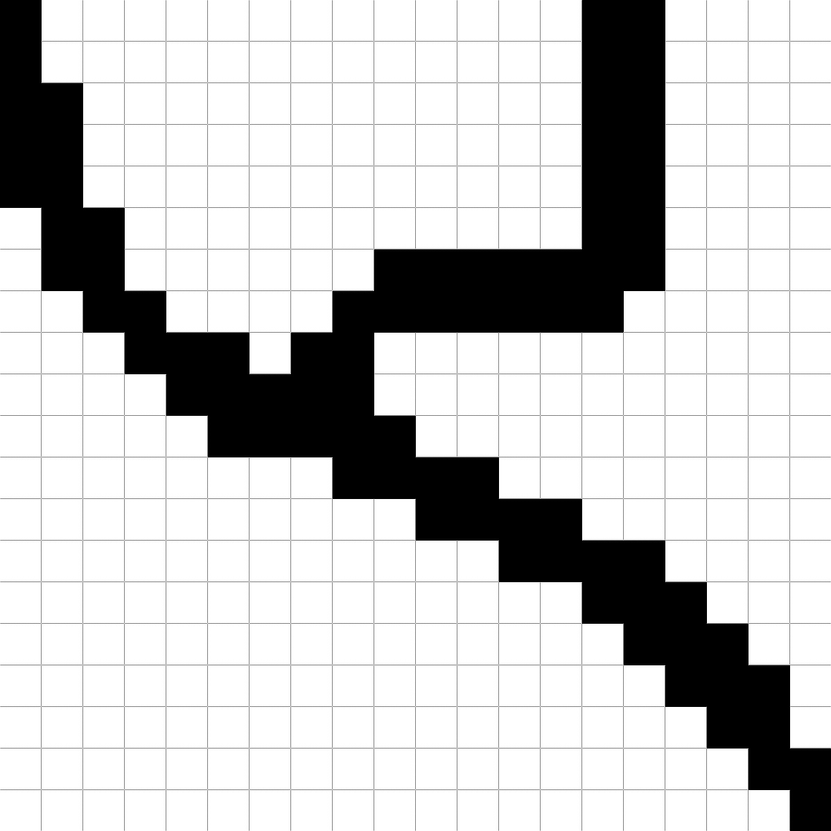
Fig. 3.2 An example of the raster data model.#
Raster data models will be discussed in greater detail in Section 3.3.
Both vector and raster models are fundamental to GIS and are chosen based on the nature of the data and the specific requirements of the analysis being performed.