Land Use and Cover Studies

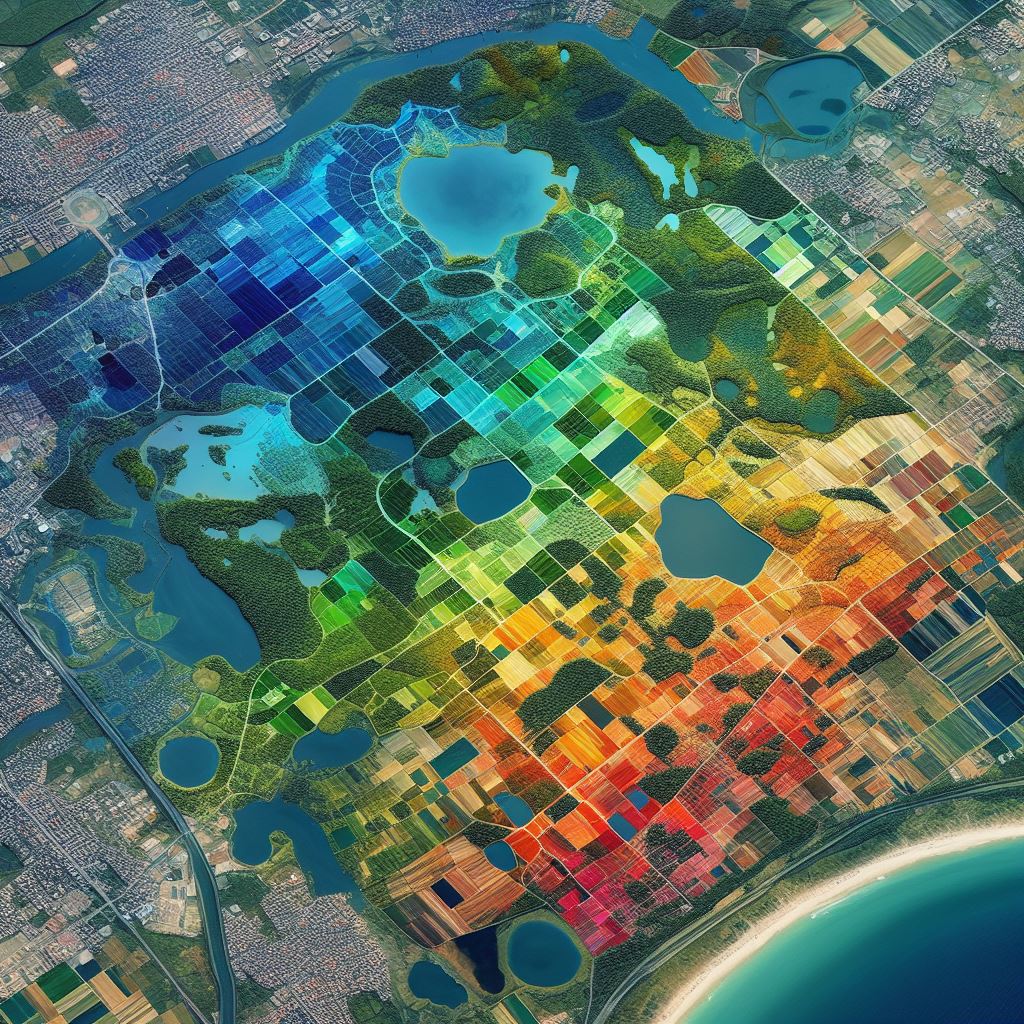
Land Use and Land Cover (LULC) classification is a critical component of Earth observation technology, using remote sensing to categorize ground cover and analyze the Earth's surface state and land use. It provides essential information for environmental protection, urban planning, and land resource management. Deep learning has brought new possibilities to LULC classification, offering improved methods for processing high-dimensional remote sensing images with limited labeled samples.
Related Studies:
